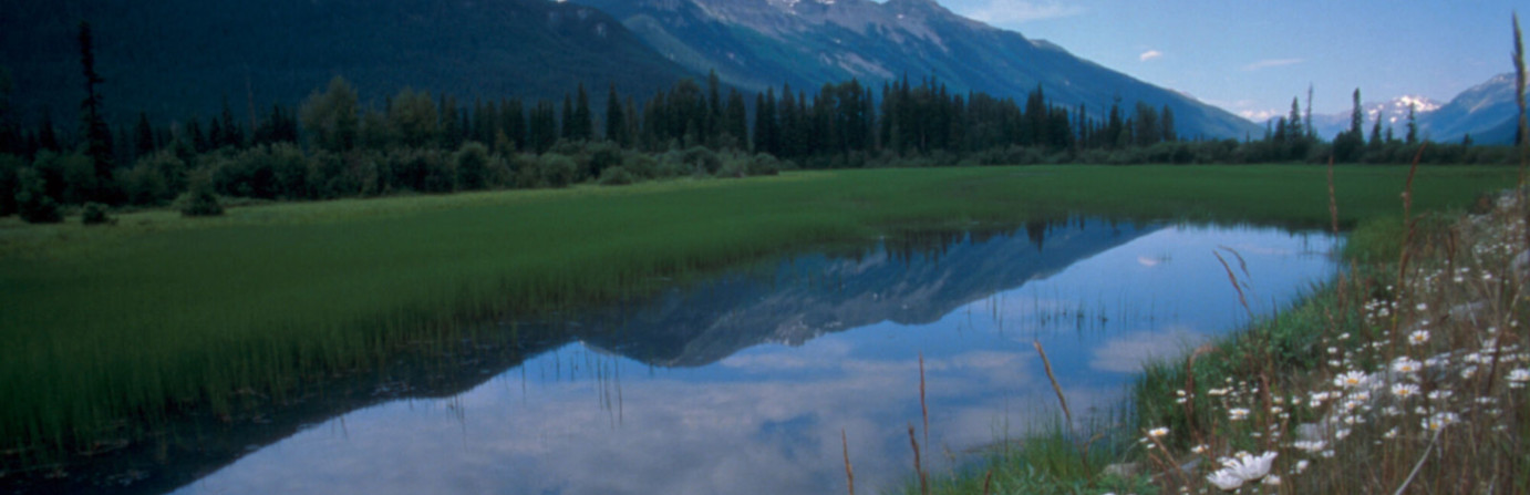
Mount Robson Provincial Park - Robson Meadows Campground
Mount Robson is the highest Peak in the Canadian Rockies & an UNESCO World Heritage Site. Hiking, biking, boating and wildlife viewing are popular activities. 3 campgrounds: Robson Meadows (reservable 125 sites & groupsite); Robson River (reservable 31 sites), with showers, flush toilets sani-station, playground, and 22 50 amp serviced sites added; and Lucerne (36 sites), on lake and pit toilets. Along the Corridor, 2 boat launches (Moose Lake, Yellowhead Lake), access to day hikes and backcountry overnight hikes ( 7 campgrounds on the berg Lake Trail, Moose, and Fitzwilliam). Park Size: 224,866 hectares
Amenities

Biking Available
Boat Launch Nearby

Dog Friendly
Fishing Nearby

Flush Toilets Available

Hiking Available

Mountain Biking Available

RV Sites Available

Sani Dump Available

Showers Available

Swimming Available

Tent Sites Available

Water Available On Site

Winter Camping Available
 BC Parks
Directions
Access on Highway 16, just west of the BC/Alberta border & east of Tete Jaune Cache.
Photos


